Snow Mountain Morning
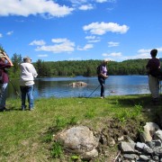
On Monday, April 25, we had a great hike around Snow Mountain with teacher, writer, and ecologist Tom Wessels (Tom is the author of the well known Reading the Forested Landscape and his recent work entitled Forest Forensics is a wonderful field guide to interpreting past land uses).
Amber Boland, UVLT’s Conservation Mapping and Field Specialist, organized the outing which got some of our volunteer land stewards out with some of UVLT’s staff to take in the spring weather (finally!) and learn a bit about the natural areas on this approximately 400 acre property. UVLT owns a ¾ interest in the land, and will likely become full owner, so we were eager to have Tom give us some insight into what the property holds for us and for the region!
More information gathering will certainly follow as we consider the future management options for this land. It is neat knowing what special sites can be found with a little exploring (see Notes from the Field below).
If you would like to take a trip to Snow Mountain and report back about what you see to help us learn even more about the property, please let us know by getting in touch with Stewardship staff Pete Helm or Jason Berard. If anything, it is a wonderful walk in the woods.
Notes from the Field
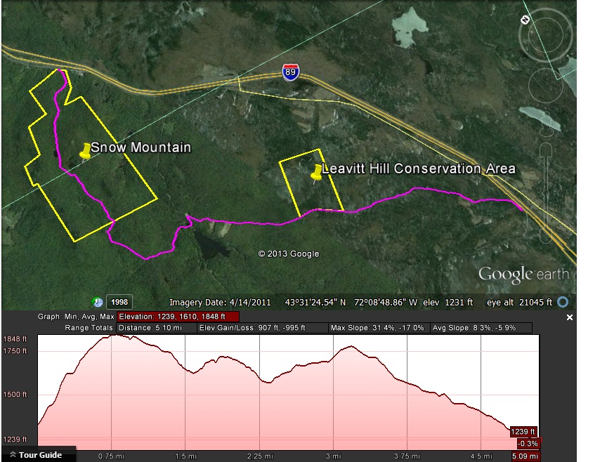
From the lower elevations along Old Route 10, we hiked up the access road to the property’s only development – a cell tower. On our way up, the community types changed from younger early successional and fairly homogeneous forest to slightly more rich calcified soils introducing ash and other tree species. Above the steepest slopes, some clues from past agricultural uses, such as old stone wall remnants, also began to show. The tour continued off the main access road along an old logging road, past a very actively maintained beaver wetland and then past another large wetland that appeared to no longer be the beaver’s priority. The conifers rimming the older wetland showed the forest succession which often follows the beavers – since they remove most hardwood species around a wetland; it allows conifers to get an edge as the beaver move on, creating a pond with a distinct conifer line with stands of predominantly hardwoods further from the water.
We heard several birds along the route including chestnut sided warblers and chickadees, and saw some thrush nests, grouse droppings, turkey tracks, as well as significant sign of moose, bear, porcupine, and, of course, beaver.
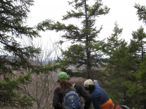
Once we left the logging roads, we headed for the high point on the property, along the north-south stretching ridge, which offers great views this time of year (before leaf-out). The talus slopes on both sides gave everyone a good scramble. Tom noted the spruce dominated thin soils on the ridge itself, some evidence of tree recovery following the ’38 hurricane, and older stands with lots of mixed hardwood species once we began descending the eastern slope. Throughout the property we noted the gnarled tops of many of these older trees, suggesting the property experiences frequent ice storm damage (we had also noted this on our way up the road!). We all remarked on the abundance of trout lilies emerging in great numbers in lots of different areas throughout the property. Descending steeply from the ridge, through what became aptly termed “porcupine gorge†due to the number of denning sites we encountered, many vowed to try to come back to this part of the property to explore more!
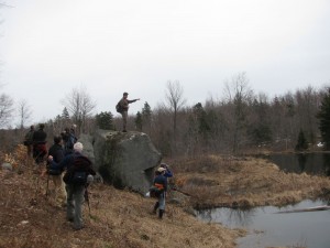
We made our way to a really beautiful wetland complex with several terraced beaver ponds at varying levels, a great lookout rock and some huge and old trees standing watch. A wet meadow further downstream suggested the extent of the beavers’ work in years past, with their upstream movement likely following the need to replenish their food supply. Wrapping back around to the northwest and climbing a bit, we connected with another old logging road which led us past the cell tower for a return walk down the access road.
Happy Spring!
Sara Cavin, UVLT Conservation Project Manager

