![]()
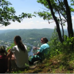
Access to Nature
UVLT Owned & Managed Conservation Areas
While many of the properties that UVLT conserves remain in private hands, our goal in outright ownership is to ensure that all Upper Valley residents have the opportunity to enjoy the benefits of conserved land and participate in its stewardship. Many of the lands we own are available as outdoor classrooms for all ages. At some UVLT Conservation Areas, forestry or farming activities may be underway and visitors should follow our guidance on this site and on kiosks and signs to avoid risk and inconvenience to UVLT’s tenants and contractors. UVLT owns some properties because of their ecological significance or special management objectives. These Conservation Areas may have limited public access and may host scientific research or demonstration projects.
Bear Pond Natural Area
Canaan, New Hampshire
The Bear Pond area is one of UVLT’s largest projects by acreage, with over 900 acres including 95 acres of peat bog and 65 acres of wetlands at the headwaters of the Mascoma River. Bear Pond Natural Area has “forever wild” restrictions where wildlife, natural processes, and habitat succession are prioritized for management with relatively little human disturbance to the property.
Brookmead Conservation Area
Norwich, Vermont
Brookmead Conservation Area is 352 acres of farm and forest land in Norwich, VT. This property supports local agriculture, education, scientific research, and multi-use recreational trails. Enjoy the views of our rural countryside as you climb into the forest, or find quiet and solitude as you wander the miles of singletrack trails through the woods
Cream Street Conservation Area
Thetford, Vermont
Cream Street Conservation Area was donated to UVLT in May 2023. The 151+ acre property includes upland forest, more than 20 acres of wetland and cedar swamp. There are unique ecological resources and habitat which offer educational and research opportunities.
Debby & James Crowell Conservation Area
Canaan, New Hampshire
The 71.5-acre Debby & James Crowell Conservation Area is 71.5 acres of northern hardwood and mixed forest located within a half mile of Canaan’s elementary school. The Crowell’s donated a conservation easement in 2004. Then twenty years later, their children donated the land outright to UVLT and named the area for their parents.
Ely Mountain Conservation Area
Thetford, Vermont
Located at the northern edge of Thetford’s largest unfragmented forest area, the Ely Mountain Conservation Area is open to the public for hiking, snowshoeing and skiing. You will find huge old trees, rock outcroppings, glacial boulders, seeps and streams draining into four different watersheds.
Lyme Hill Conservation Area
Lyme, New Hampshire
UVLT’s 250-acre Lyme Hill Conservation Area abuts a number of parcels conserved by private landowners. Our land is a mix of forested slopes with stream frontage and wetland. Lyme Hill Conservation Area is a popular destination for recreationalists including hikers, horseback riders, mountain bikers, runners, dog walkers, cross country skiers, and snowmobilers.
Morey Mountain Conservation Area
Fairlee, Vermont
The 148-acre Morey Mountain Conservation Area is near two other UVLT-owned properties – Cliff’s Cliff at the Palisades and the Blendina and Harold Sargent Preserve – and is within a larger area identified as a “hot spot” by the VT agency of Natural Resources due to an abundance of rare, endangered, or threatened species.
Mountain View Farm Conservation Area
Orford, New Hampshire
This 146-acre property is a mix of forest, field, and water, that, in the 1800s was once part of a farm community in a section of Orford known as Quinttown. After the village was largely abandoned, the reclusive Billy Brown owned the property into the 1950’s with no electricity or running water and a road that wasn’t maintained through the winter.
My Walden
Sharon, Vermont
My Walden is a place where people can find the quietness, solace and space needed to rejuvenate the soul. The 236 acres is mostly hardwood forest, with several high west-facing grassland openings. There are a half dozen wetland areas, several streams, a 5-acre pond and a fen where showy lady’s slippers bloom in early summer.
Nicole Cormen Memorial Conservation Area at Rix Ledges
Lebanon, New Hampshire
Rix Ledges is 358 acres of wetlands, talus slopes, rocky ridges and swampy peat lands. Sitting in the north eastern corner of Lebanon, surrounded by development, it offers a habitat oasis to bears, bobcats, coyotes and moose.
Pohl Conservation Area
Hartland, Vermont
The Timotheus Pohl Conservation Area spans 75 acres of mixed hardwood forests and meadows, located just north of Hartland’s village center. UVLT’s ownership secures land at the core of a popular Nordic ski trail system, protects working farmland and will provide new all season trail access and the opportunity for affordable housing development.
Smith Pond Shaker Forest Conservation Area
Enfield, New Hampshire
Smith Pond Shaker Forest consists of 995 acres of forest and wetlands in Enfield located between two State Wildlife Management Areas. The three properties combine to provide thousands of acres of significant wildlife habitat. UVLT’s property boasts two waterfalls, numerous articles from Shaker History including spillways, dams, canals, and stone walls, and the beautiful Smith Pond with serene and scenic views.
Snow Mountain Conservation Area
Enfield, Grantham, & Plainfield, NH
Snow Mountain is a 400-acre tract that spans Enfield, Grantham, and Plainfield. The multiple forest community types and four wetland complexes provide habitat to a huge variety of flora as well as wildlife like birds, bears, and beavers.
Stonehouse Mountain Conservation Area
Orford, New Hampshire
Stonehouse Mountain is a privately owned 270 acre conservation area located in Orford, NH, which is located within the Monadnock-Sunapee Eco-region. The topography is highly variable in regards to both slope and aspect. The dominant topographic feature on the Protected Property is Stonehouse Mountain at an elevation of 1,986 feet.
Up on the Hill Conservation Area
Unity, New Hampshire
At approximately 1100 acres, Up On the Hill is the largest of the Conservation Areas owned by UVLT. It stretches from Morningside Lane in Charlestown, NH to Sawyers Brook in Unity, NH with a portion of the property located in southwest Claremont. The property is actively used for agriculture and forestry.
Zebedee Wetland
Thetford, Vermont
Zebedee Wetland is renowned by bird-watchers and wildlife enthusiasts. Situated off Houghton Hill Road in Thetford, the 27-acre property was acquired and conserved in 2010 with a huge outpouring of community support.
 Lone Oak Trail, Bath, NH
 Smith Pond Shaker Forest, Enfield, NH
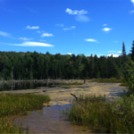 Snow Mountain, Enfield, NH
 Balch Hill, Hanover, NH
 The Dismal at Pressey Brook, Hanover, NH
 Mink Brook Nature Preserve & Trails, Hanover, NH
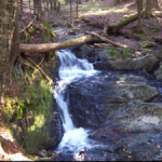 Slade Brook & Jim and Evalyn Hornig Natural Area, Hanover, NH
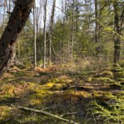 Tunis District Conservation Area, Hanover, NH
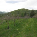 Farnum Hill, Lebanon, NH
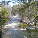 Mill Road Floodplain Preserve, Lebanon, NH
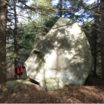 Rix Ledges East, Lebanon, NH
 Signal Hill, Lebanon, NH
 Starr Hill, Lebanon, NH
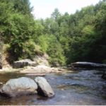 True’s Ledges Trails, Lebanon, NH
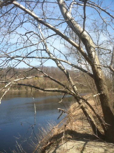 Two Rivers Conservation Area, Lebanon, NH
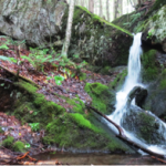 Clay Brook Trail, Lyme, NH
 Grant Brook Trail & Big Rock Trail, Lyme, NH
 Lyme Hill Conservation Area, Lyme, NH
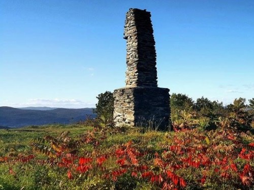 Pinnacle, Lyme, NH
 Trout Pond Trail, Lyme, NH
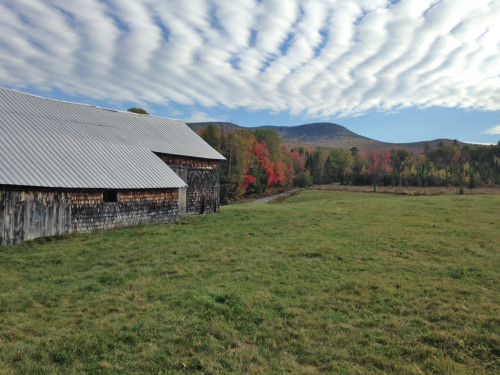 Mountain View Farm, Orford, NH
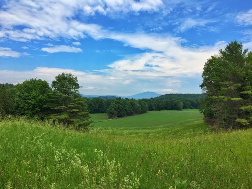 Up On the Hill Conservation Area, Charlestown, NH
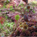 Leavitt Hill Wetland, Grantham, NH
 French’s Ledges & Farnum Trails, Meriden, NH
 Moulton Trail & Cole Brook Trail, Meriden, NH
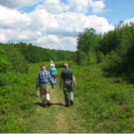 Thurber Memorial Forest, Unity, NH
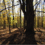 Shea Town Forest, Corinth, VT
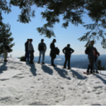 Wright’s Mountain Trail, Bradford, VT
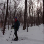 Brushwood Community Forest, Fairlee, VT
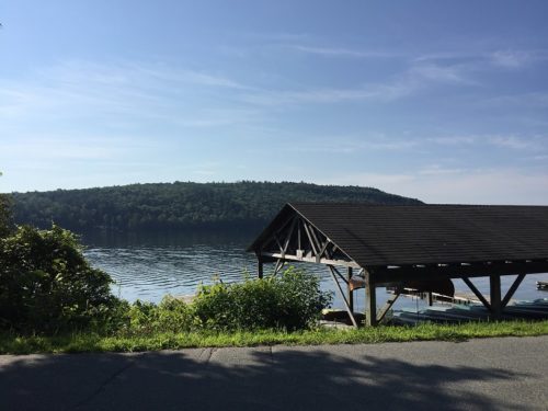 Morey Mountain Conservation Area, Fairlee, VT
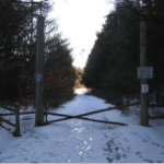 Boltonville Nature Trail, Newbury, VT
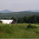 Sleepers Meadow Trails, Newbury, VT
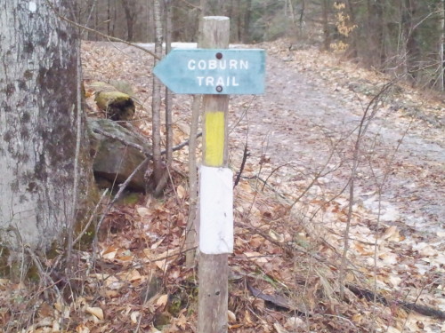
 Bill Hill Trail, Thetford, VT
 Ely Mountain Conservation Area, Thetford, VT
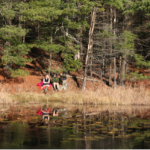 Linny Levin Trail and Zebedee Wetlands, Thetford, VT
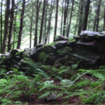 Hughes Forest, Thetford, VT
 Pegjack Memorial Forest, Thetford, VT
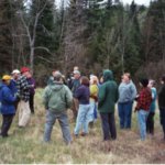 Post Mills Natural Area, Thetford, VT
 Sally Drew Trail, Vershire, VT
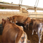 Cobb Hill Trails, Hartland, VT
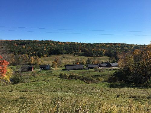 Brookmead Conservation Area, Norwich, VT
 Cossingham Road Farm Trails, Norwich, VT
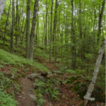 Hazen Trail, Norwich, VT
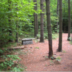 Milton Frye Nature Area Trails, Norwich, VT
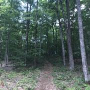 The Robert Areson Conservation Area, Norwich, VT
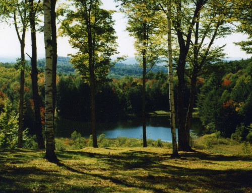 My Walden, Sharon, VT
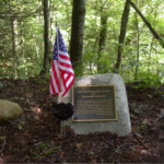 Rikert Broad Brook Trail & Veterans Memorial, Sharon, VT
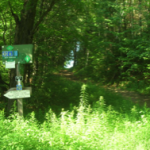 Upwey Farm Trail, South Woodstock, VT
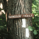 Windsor & Weathersfield Trails on Mt. Ascutney, Weathersfield, VT
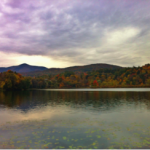 Paradise Park & Lake Runnemede, Windsor, VT