Land Description
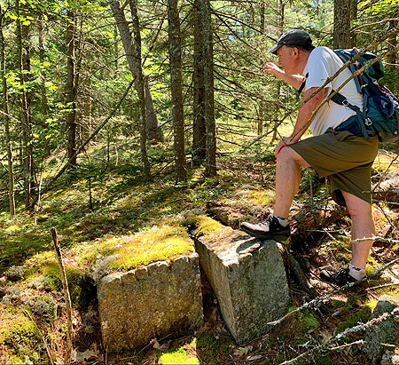
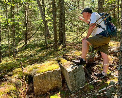
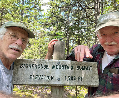
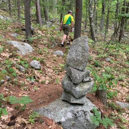
Stonehouse Mountain is a privately owned 270 acre conservation area located in Orford, NH, which is located within the Monadnock-Sunapee Eco-region. The topography is highly variable in regards to both slope and aspect. The dominant topographic feature on the Protected Property is Stonehouse Mountain at an elevation of 1,986 feet. The wooded summit is accessible by the Stonehouse Mountain Trail and is the highest location on the Protected Property. Large areas surrounding Stonehouse Mountain are steep and feature exposed rock ledges and boulders therefore limiting access and activities such as commercial forestry. Other areas on the Protected Property feature variable but more moderate terrain especially in lower elevations adjacent to the private road. Stonehouse Mountain lies within two distinct watersheds, The Jacobs Brook watershed to the north, and the Clay Brook watershed to the south. Due to these features, the State of NH ranks this area as the highest ranked habitat for wildlife.
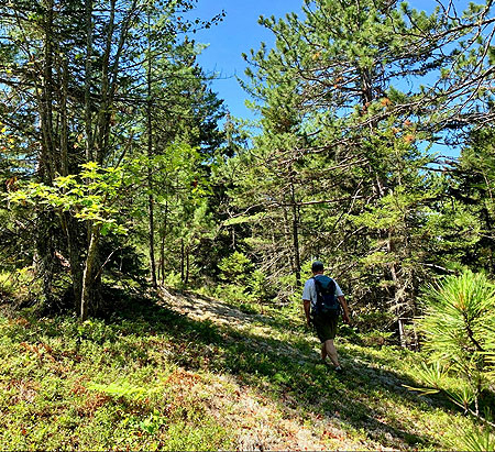
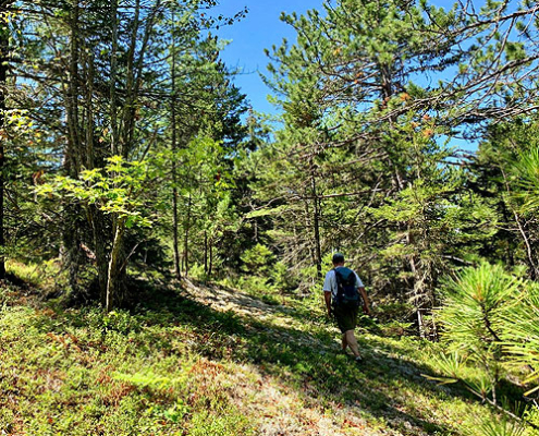
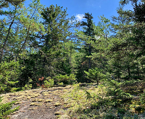
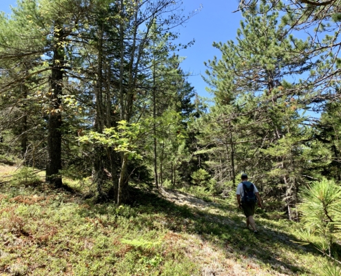
The forests on Stonehouse Mountain are quite varied. The lower elevations are a mix of hemlock-oak northern hardwood natural communities and northern hardwood forest natural communities. The higher elevations are a mix of montane spruce and red pine forests. Especially at higher elevations, the trees are quite old, likely much older than their diameter might suggest according to forester Jeff Smith from Butternut Hollow Forestry.


