Stonehouse Mountain Protected!
Stonehouse Mountain sits just north of the Orford/Lyme town line, a bit west of bigger and more recognizable mountains: Mount Cube and Smarts Mountain. Though less well known than its neighbors, the summit of Stonehouse Mountain and its surrounding forest play a vital role in a connected landscape that extends for miles. Now owners Bob and Christie Hedges have donated a conservation easement aiming to keep the area intact. Their forward-looking generosity has an impact that reaches far beyond the bounds of the 270 acres they’ve conserved.

The Hedge’s property was once a portion of a 600-acre tract that was taken by the Town of Orford in 1934 after the owner was unable to pay the property taxes owed — $98.75! The Town Agent sold the property to a lumber company based in Plymouth, after which the 600 acres changed hands several times. Eventually, in the 1970’s it was purchased for subdivision and development. Stonehouse Mountain Road was upgraded and homes were built along the frontage. The Hedges’ property, which was the “backland” of that first subdivision, was later proposed for development too. A 10-lot subdivision was approved and an access road built in the 1990’s. But only two homes were built there. The Hedges purchased one of them and all the remaining undeveloped lots.
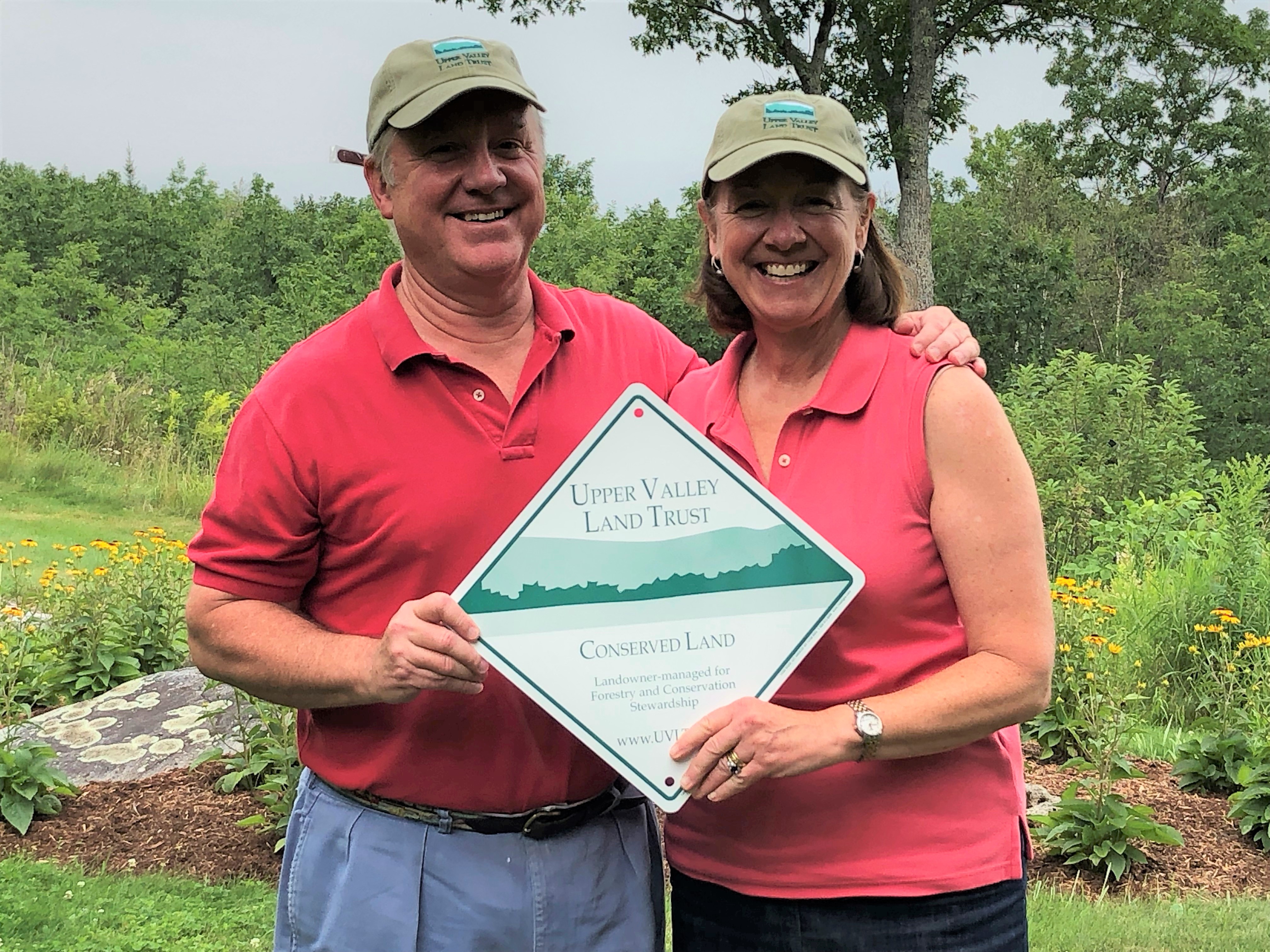
Bob and Christie Hedges at the closing of their conservation easement.
According to the Hedges’ forest management plan, Stonehouse Mountain is located in the Monadnock Sunapee Highlands ecoregion, a part of New Hampshire generally cooler and wetter than the nearby Connecticut River Valley ecoregions. Stonehouse Mountain is the second highest peak in Orford, and portions of the property share characteristics of the forests in the northern part of the state. New Hampshire’s Wildlife Action Plan, created by NH Fish and Game, depicts much of the Hedges’ property as having the highest ranked habitat in the state.
The Hedges’ property is located at the north end of a 3-mile corridor of conserved land that links to Trout Pond and Pout Pond, in Lyme. And, it also fills a gap in an east/west corridor connecting the Connecticut River to Mason Pond in Quinttown four miles away. This land is, and will be, important to adaptation and resilience of plants and animals.
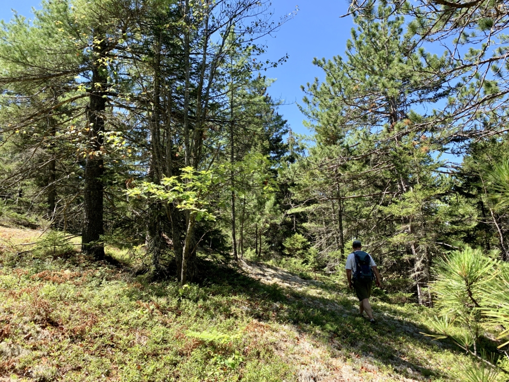
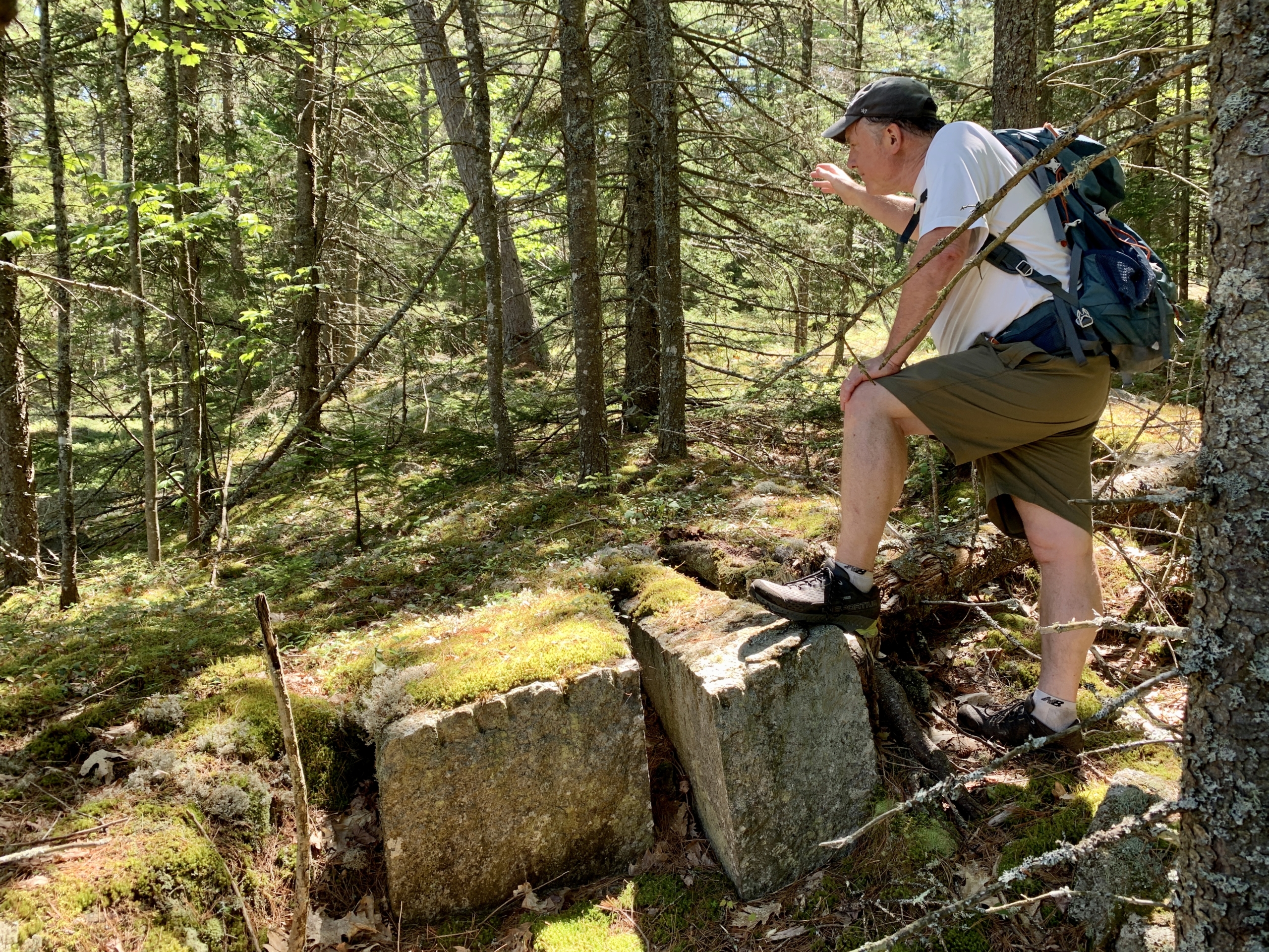
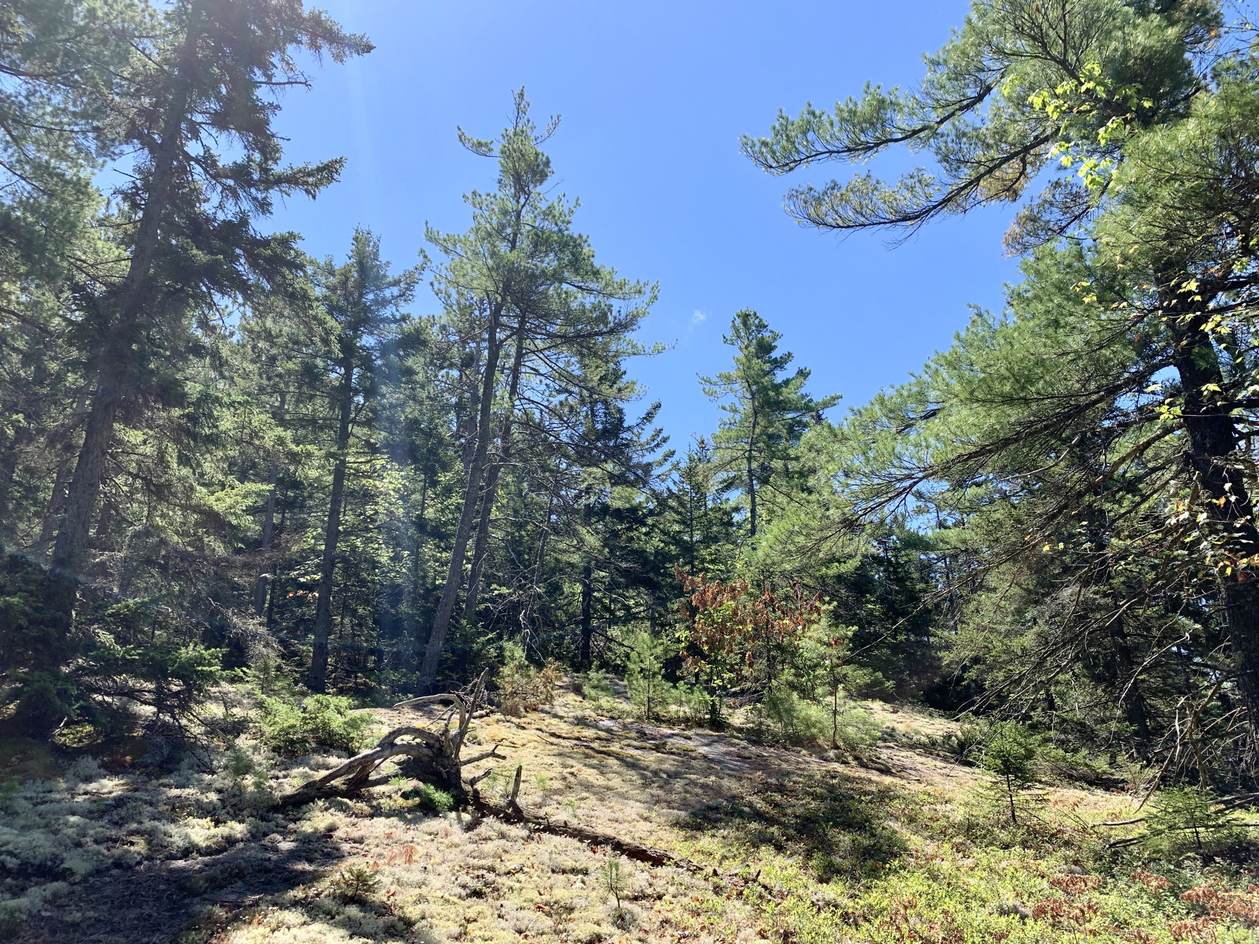
Old topographic maps of the area show that it has been covered in trees at least since the 1930’s. While many of the Upper Valley’s hillsides were cleared for agriculture during the 19th century, evidence of settlement in this part of Orford is scant. Stonewalls are found at only the lower elevations of the property. Whatever farming once occurred must have been quickly abandoned.
Forestry also found limits in the shallow soils and steeper slopes of Stonehouse Mountain. A portion of the Hedges’ property is considered “inoperable” for timber harvesting due to difficult access for equipment and haul roads. But the large boulders and rock outcrops provide habitat for bobcat, bear and coyote. In some parts of the forest, large trees indicate a long period of human abandonment.
In buying this property in the ‘90’s and conserving it today the Hedges have, literally, put pieces back together again, turning back the clock on the parcelizing of this rugged and rich area which contributes so much to our resilient landscape.
")


Leave a Reply
Want to join the discussion?Feel free to contribute!