Volunteer Monitoring 101 Lesson Four: The Best Laid Plans of Volunteer Monitors…
Lesson Four: The Best Laid Plans of Volunteer Monitors…
As I mentioned previously, the blue monitoring folder is a wealth of knowledge and really a must read for the volunteer prior to making a property visit. For this particular trip I read the Baseline Document Report (BDR) and previous year’s Monitoring Report from the folder a few times to make sure I had a good grasp of the property’s features and orientation. Why the repetition? I was excited because I had the chance to go along with Jason Berard, our Stewardship Coordinator, on this visit and we’d decided it would be a good place to work on my navigation skills.
I had been pestering Jason about a chance to do this. A personal goal of mine is to be able to do all of my navigating by compass. I knew I’d have to work up to total ‘freestyle’ navigation away from property boundaries that have set coordinates, but in the meantime I wanted to get my basic skills in shape. I had to practice. We’d touched upon compass navigation briefly on my first trip out; however, for the sake of efficiency we opted to rely mainly on the GPS for that trip. Since then I hadn’t had a good beginner’s property to learn on but this one looked promising!
The day of the monitoring trip dawned and I bustled around getting myself ready with a speed not typical of that time of morning. I kept thinking back over the BDR and maps of the property, running through different scenarios in my head. One interesting feature of this property was the fact that established public trails run through it. I wondered if the trails were well marked and if I could somehow use them to test my navigating.
I met Jason at the trail-head, and as soon as I’d parked we pulled out the map, compass, and GPS (for backup). Pretty quickly we realized that what we were planning to do – follow the boundaries so that I could practice my compass work – had been done the previous year. In all of my excitement I had overlooked the route of the previous year’s monitor.
Phooey.
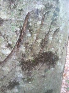
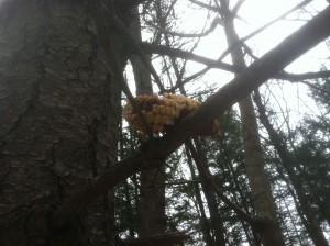
We quickly came to the decision that we had to scrap our plan of compass work in order to avoid redundancy. To ensure our visit would cover different ground, therefore being more thorough, we opted to walk the trails instead. I was a bit disappointed but I soon was reminded that a walk outdoors never disappoints. We found many interesting wildlife signs including those fore bear, fisher, and some corn-loving critters. Plus, I reminded myself, there are over 400 more properties out there and so over 400 more chances for me to practice.
Review:
Read your materials thoroughly.
Plan your route and review it.
Change plans if necessary.
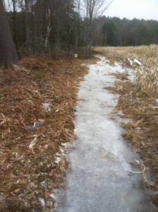
Pop-quiz:Â When monitoring in winter and early spring months, even warmer ones, bring extra traction!
(My inexperience and excitement cause me to fail this ‘pop-quiz’, luckily Jason packs extra gear.)
This is the third post of a series I am writing about my experience becoming a fully trained monitor for UVLT. If you missed my earlier posts you can find them here.
Anna Slack, UVLT Programs Coordinator, Monitor-in-Training


