Protecting the Woody Adams Conservation Forest and the Norwich Town Forest on Gile Ridge
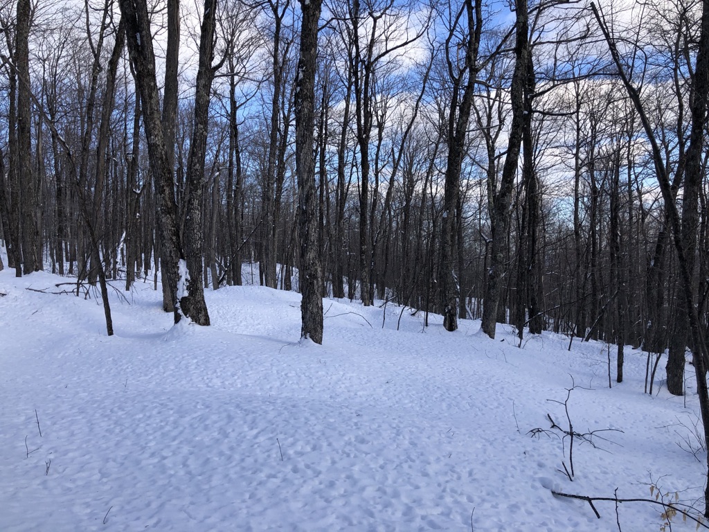
Between the Norwich Town Forest and the Gile Mountain Fire Tower is 186 acres of high elevation forest that harbors important wildlife habitat, flood resilience potential, and climate change mitigation features. The Blue Ribbon Trail from Beaver Meadow Road to the fire tower runs through this property. This land was listed for sale in 2019, raising concern that the forest could become fragmented and the trail experience could be degraded.
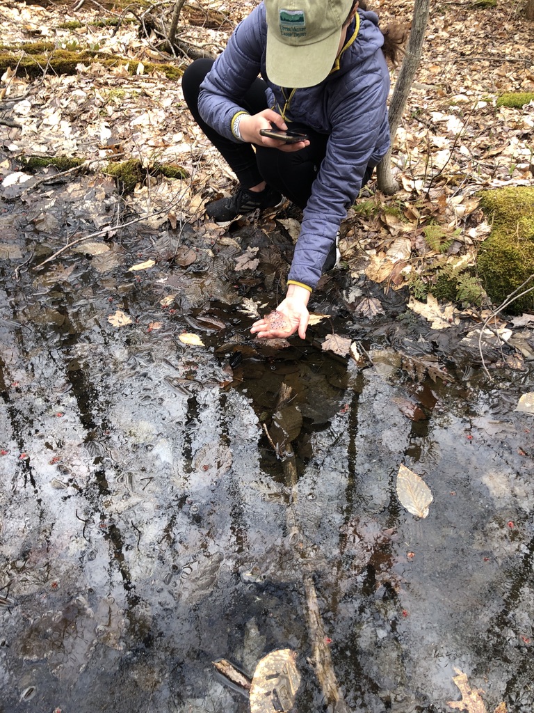
Vernal Pools at the Woody Adams Conservation Forest
UVLT and the town of Norwich moved to secure the property to make sure that the fragmentation and potential degradation would not occur. The land has been removed from the real estate market for a limited time to allow UVLT and the Town to raise grants and private funds to buy and protect this important area of Norwich! So far, we have successfully obtained state and local grants in an amount of $265,000. These grants must be matched with a final $65,000 raised in the community. Since mid-December we have raised $44,000 towards this goal and need just $21,000 more. Please consider a contribution of whatever amount you can to the Gile Ridge/Woody Adams fund, to help close the funding gap and make sure this significant forest tract is protected forever.

Perennial Stream at Woody Adams Conservation Forest
The addition of the 186 acre Woody Adams Conservation Forest tract would more than double the Gile Ridge acreage in town ownership. All three parcels – the town forest, the Woody Adams Conservation Forest, and the Gile Mountain tract – a place so many of us love dearly – will be protected with a conservation easement held by UVLT and the Vermont Housing and Conservation Board. The total protected land would be 290 acres.
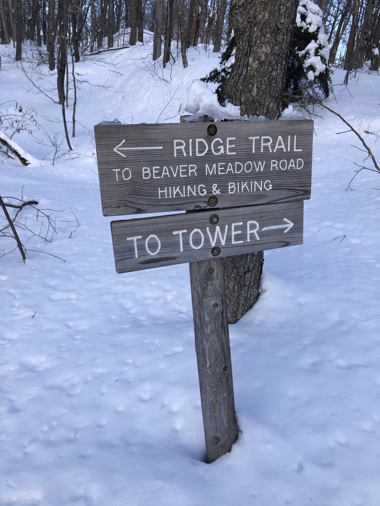
Trail Signs on the Gile Mountain Ridge Trail
The protection of the Woody Adams Conservation Forest would mean that the water quality of the streams, seeps, and vernal pools in two watersheds would be safeguarded. Protecting this watershed at its highest reaches would retain significant flood prevention downstream in an area that has been prone to flooding. Protecting these parcels would create a permanent, unfragmented forest block to ensure wildlife connectivity through North – South and East – West wildlife corridors. There are also climate change benefits to forest protection, ranging from creating resiliency by protecting high elevation sites for shifting species distribution to sequestering and storing carbon in the forest. Finally, protecting this land would permanently protect the public access on the exciting “Blue Ribbon Trail” and open up the opportunity for a higher elevation back country Nordic ski and snowshoe loop.
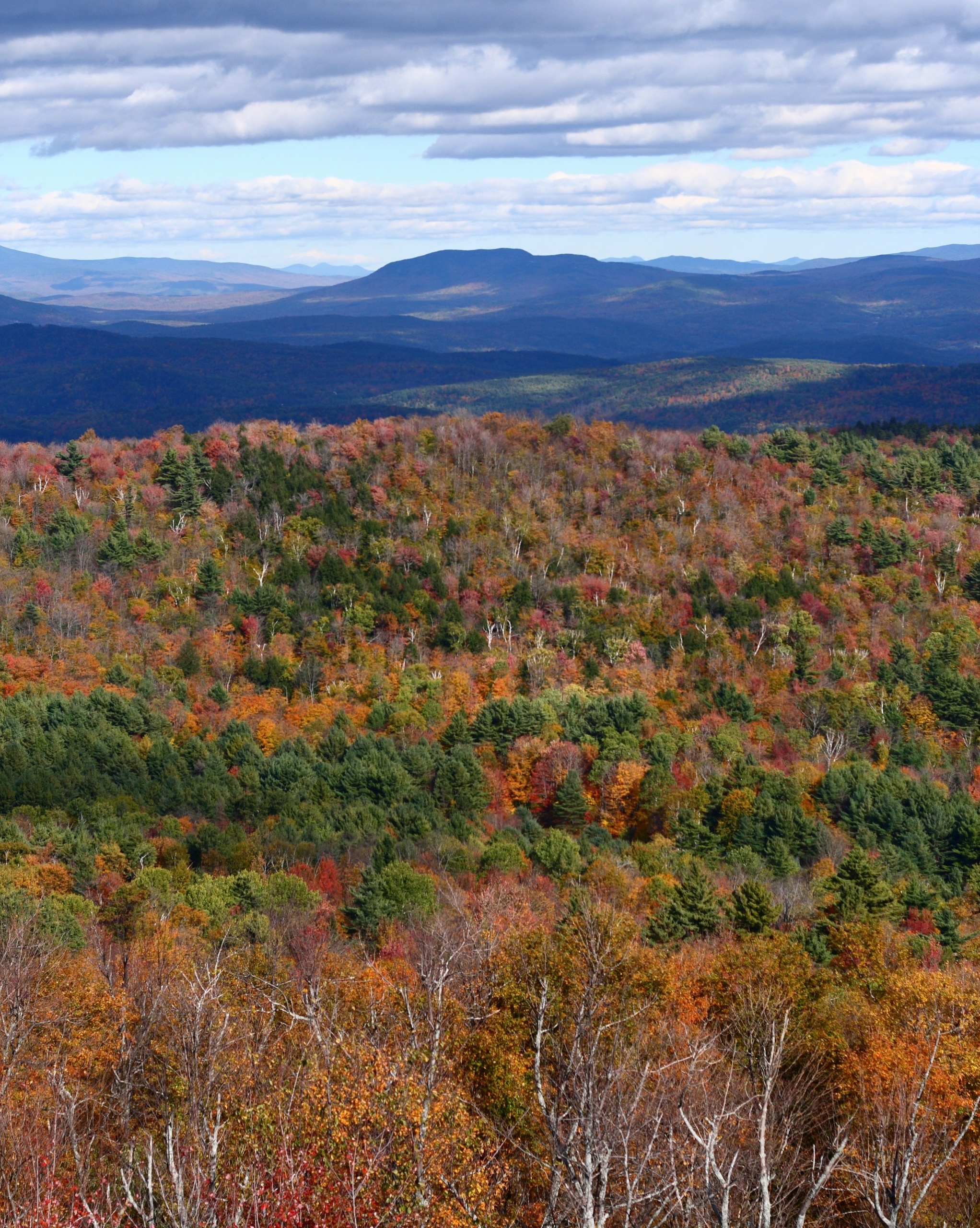
View from the Gile Mountain Fire Tower
Join UVLT and the Norwich Conservation Commission and say yes to resilient forests, healthy watersheds, and the protection of trail access to Gile Mountain. We have almost reached our fundraising goal! Please help us raise the last $21,000!


")


Leave a Reply
Want to join the discussion?Feel free to contribute!